
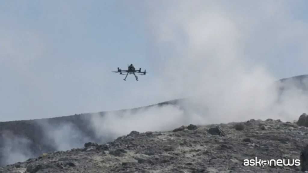
Drones over Vulcano: the science that could give us earlier warnings of eruptions
On the island of Vulcano in the Aeolian archipelago, a team of French and German researchers has been flying drones above the crater to sample volcanic gases and test new monitoring instruments. This campaign — a collaboration between universities and research centres — aims to make volcanic surveillance safer, more continuous and more sensitive to the subtle chemical shifts that can precede eruptive activity. For coastal communities and holiday visitors alike, the work has immediate practical value: better data means better forecasting, and better forecasting saves lives.
Why drones are changing volcano monitoring
Traditional volcanic monitoring relies on a mix of ground stations, occasional sampling expeditions and satellite observations. Drones add a new dimension:
At Vulcano, the flux of gas is relatively steady, making it an ideal testbed: researchers can validate sensors against a known baseline before moving on to more complex and variable systems such as Etna.
What the drones measure
The drones carry a suite of compact sensors designed to capture the chemical fingerprint of volcanic emissions. Key targets include:
When combined with automatic ground instruments, these airborne readings build a multi‑layered picture of the volcanic system.
Predicting eruptions: is it realistic?
Scientists are cautious: there is no magic formula to predict every eruption. But gas chemistry is one of the most promising early indicators. A change in gas ratios, an unexpected increase in CO₂ emissions or a sudden spike in sulphur compounds can reflect pressurisation beneath the volcano or a shift in the hydrothermal system. By continuously monitoring these parameters, researchers hope to detect anomalies earlier than with episodic sampling alone.
Automation and the future of monitoring
Alongside drones, the campaign is testing automated ground sensors that can operate continuously without permanent human presence in high‑risk zones. The benefits are clear:
As these systems become more robust, networks of automatic sensors and drone sorties could offer a resilient surveillance architecture for active volcanoes worldwide.
From Vulcano to Etna: scaling up the tests
Once validated on Vulcano, where gas output is steady and conditions are controlled, the gear will be tested on Etna — a far more demanding environment with stronger updrafts, frequent variability and larger eruptive events. If the technology performs there, it will be a strong proof of concept for deployment on other hazardous volcanic systems.
Why this matters for communities
Improved monitoring has direct social benefits:
Challenges ahead
There are practical hurdles to overcome before drones and automated sensors become standard tools:
What researchers hope to achieve
The ultimate aim is not to eliminate uncertainty — that is impossible with complex natural systems — but to reduce it enough to provide meaningful lead times for decision‑makers. A continuous flow of chemical and physical data will sharpen models, improve hazard maps and make civil protection responses more targeted and timely. For islands like Vulcano and regions with dense populations near volcanoes, this technology could become a vital component of resilience strategies.
How you can follow or support such efforts
These drone tests at Vulcano are a small but promising step towards a future where monitoring is continuous, less hazardous, and far more informative — helpful not just to scientists but to anyone living under the shadow of a volcano.